
 Image 1 of 5
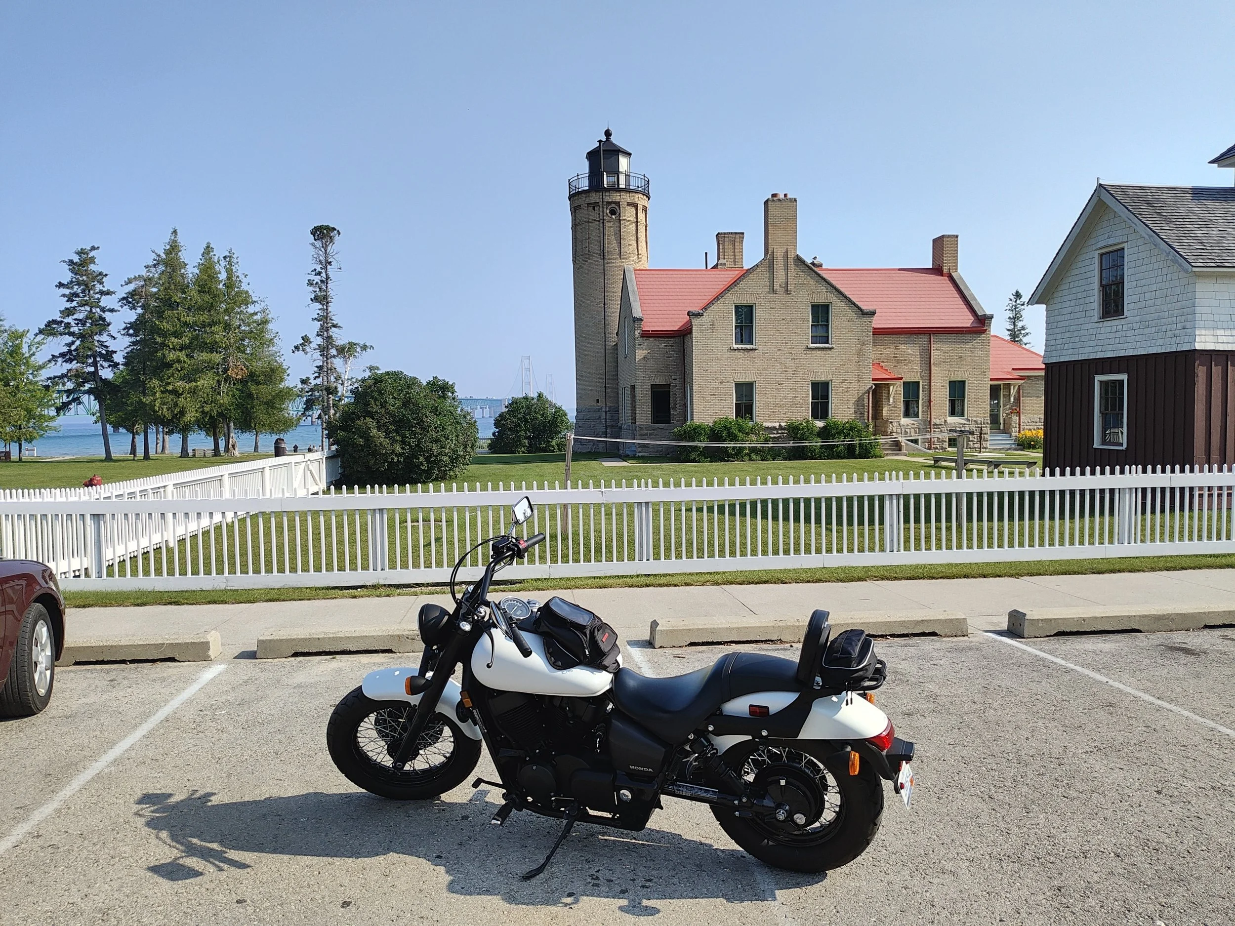 Image 2 of 5
 Image 3 of 5
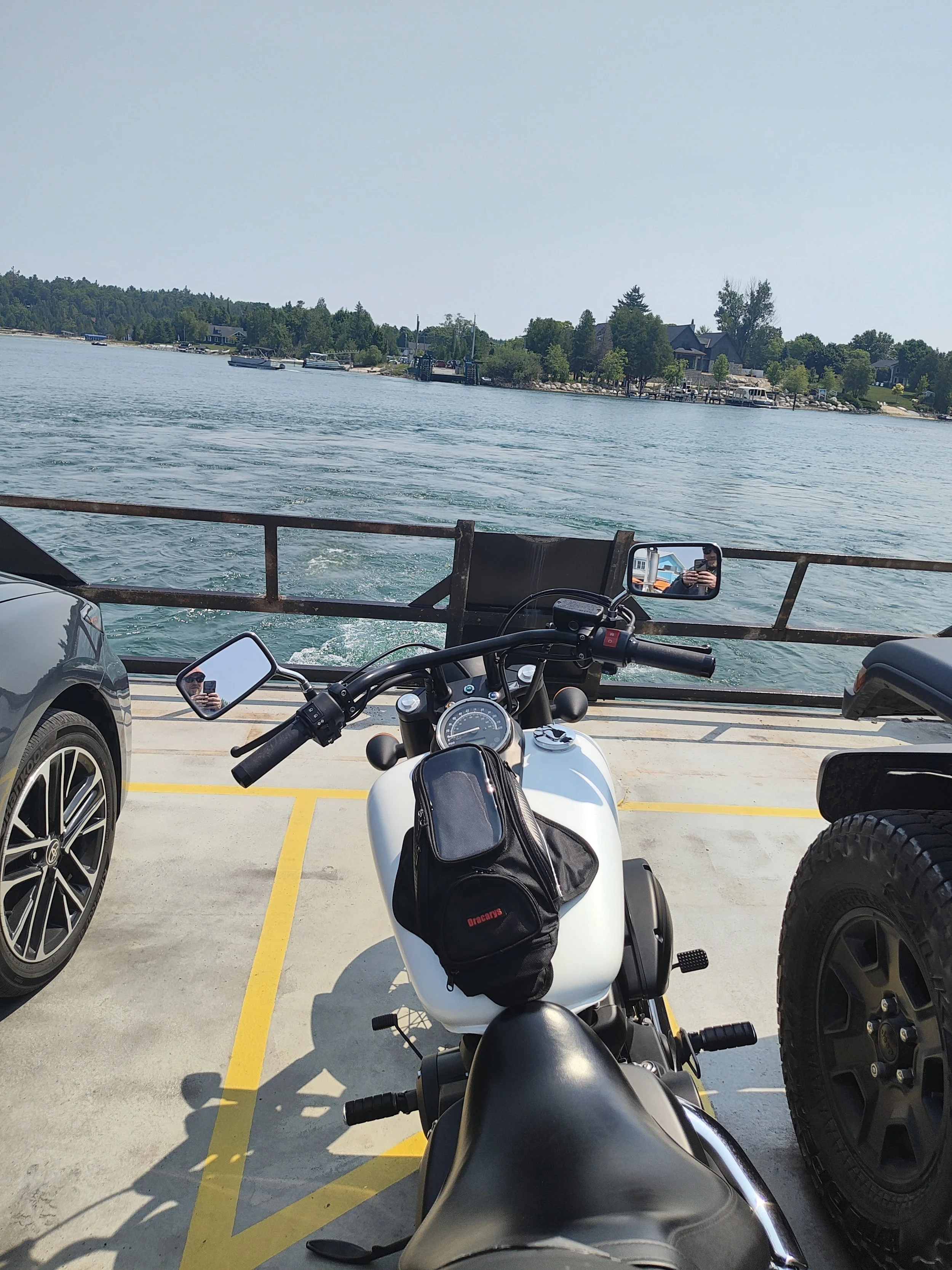 Image 4 of 5
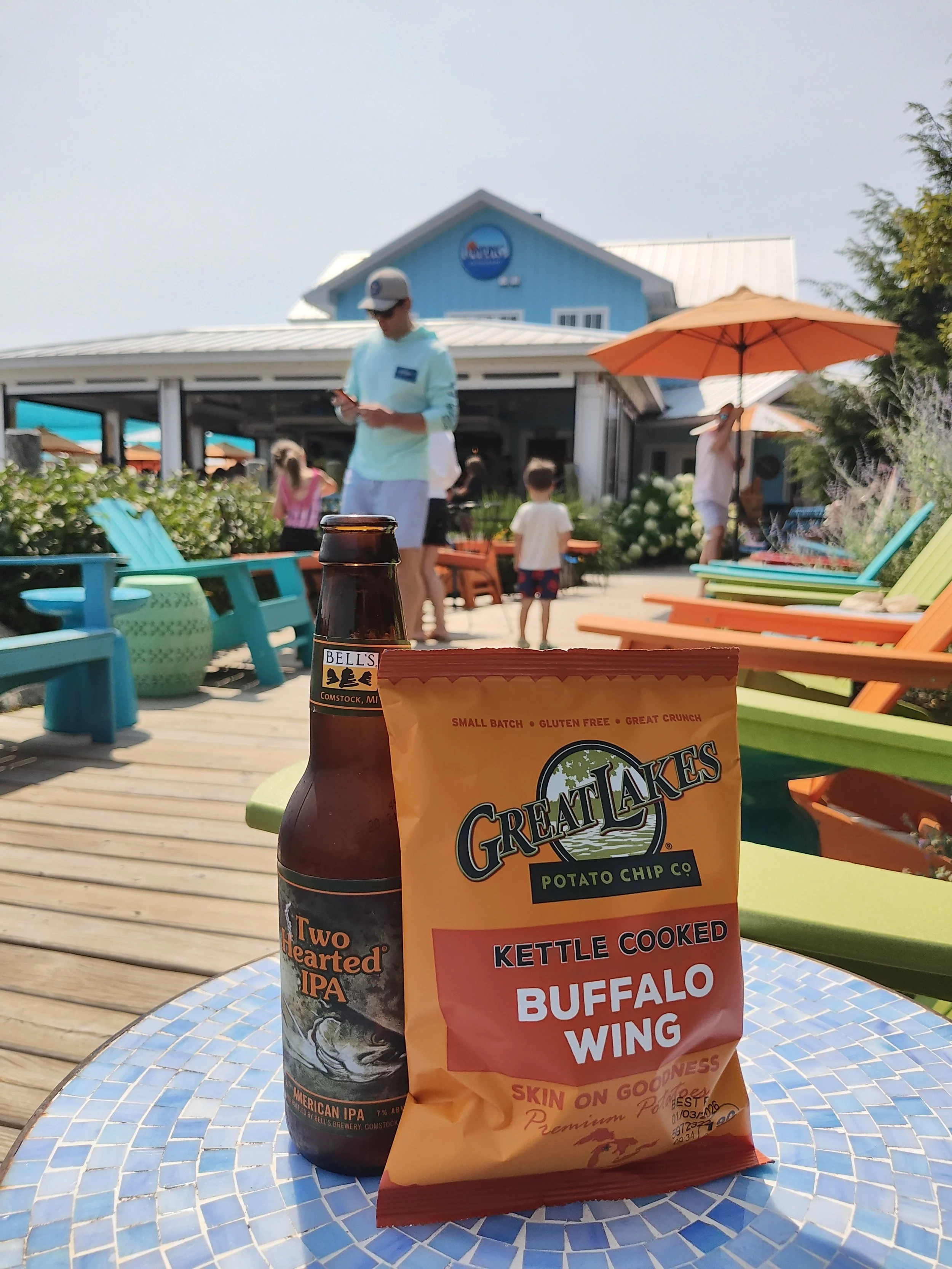 Image 5 of 5
What you’re buying
A field-ready motorcycle day-ride guide created by a Northern Michigan rider. No fluff, no tourist trap time sinks—just the good stuff.
What’s inside
Multi-page PDF guide (Route Basics, 6 leg descriptions, Stops & Highlights, Rider Tips)
Quick-reference page for your tank bag/phone
GPX file for import into Garmin/Rever/Scenic/OsmAnd/GPX Viewer and similar apps
Route at a glance
Distance: ~90 miles
Ride time: ~2h45m non-stop; ~5h with lunch and casual stops
Start → Finish: Mackinaw City → Boyne City
Highlights: Sturgeon Bay Beach, Cross Village, Tunnel of Trees (M-119), Harbor Springs, Petoskey, Charlevoix, Ironton Ferry
Ferry: $5 (confirm current price/hours; carry small bills)
Difficulty: Beginner–Intermediate (narrow lanes + gentle curves)
Local intel that makes this smoother
Fuel once in Mackinaw City—this route is easily done on a single tank
For lighter traffic in fall, ride the Tunnel of Trees in the morning
Watch for leaves on corners, deer at dawn/dusk, and occasional sand near beach pull-offs
Who this is for
Riders who prefer relaxed two-lanes over interstates, want real stop suggestions, and appreciate a GPX that drops right into their app or GPS.
How to use
Download the ZIP after checkout (PDF + GPX + read-me).
Import the GPX into your preferred app/device.
Open the PDF quick reference on your phone or print it for the tank bag. Go ride.
License & disclaimer
Personal use only for one rider/household. Please don’t redistribute or resell.
Ride at your own risk. Road and ferry conditions/fees can change without notice. Obey all posted signs and laws.